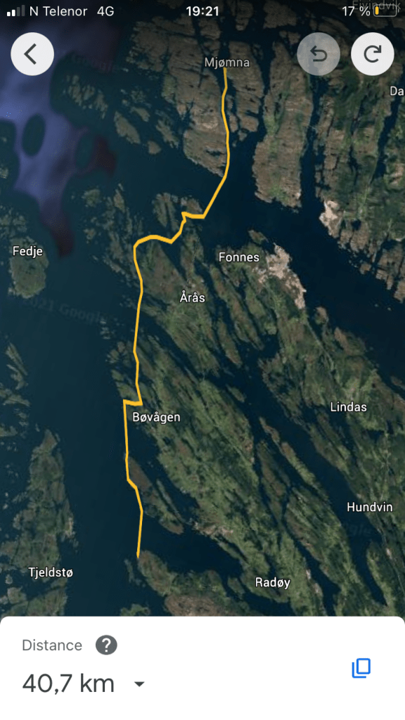
From Mjømna to Skjelanger Fort. 40 km, start 1120 arrive 1915.
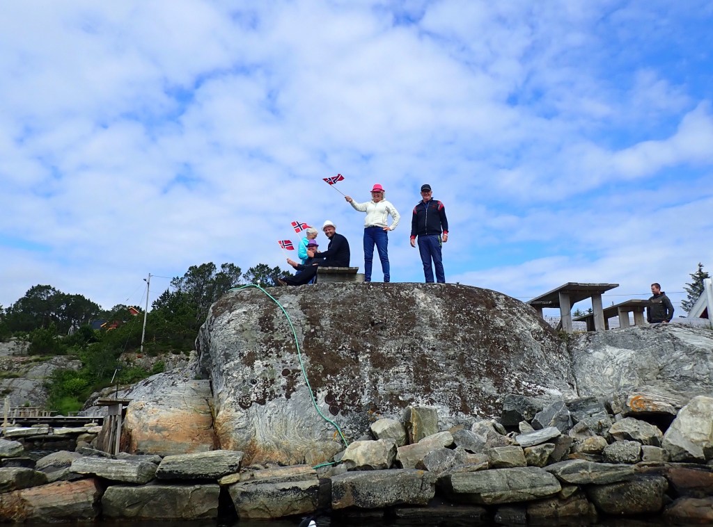
We somehow managed to be on the water at 1120. And we left in style as the Mjømnen family who runs the place came down to see us off in super fashion.
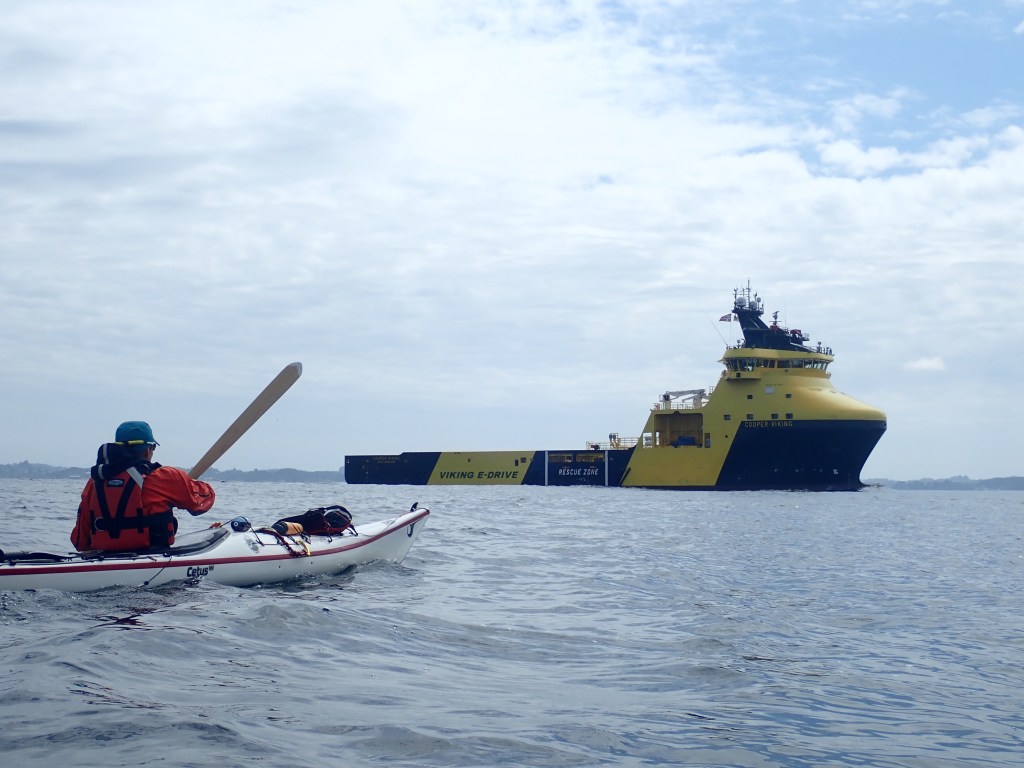
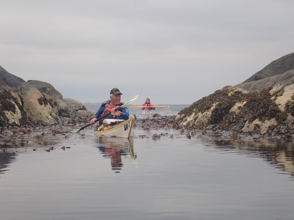
As soon as we were out of the bay Arne turned north toward Skjerjehamn and the rest of us turned south toward Fensfjorden. Today’s first and only crossing. Soon we had Mongstad in sight. Mongstad is Norway’s largest (and soon only) oil refinery. It also generates a lot of boat traffic in and out of Fensfjorden, so for the first time this year it was necessary to turn on the VHF.
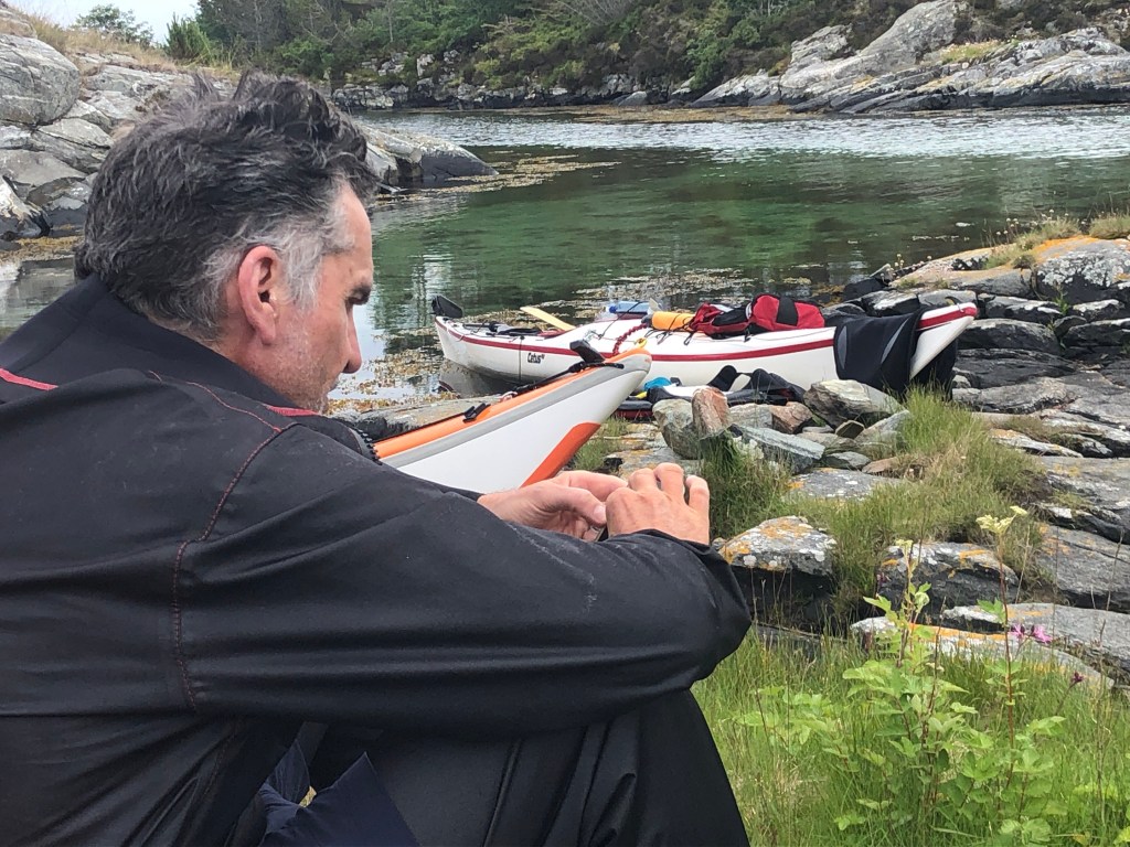
After Fensfjorden we entered into a maze of small islets that we had to cross to get to Hjeltefjorden. We took a short break, before Stein navigated us through with super precision.
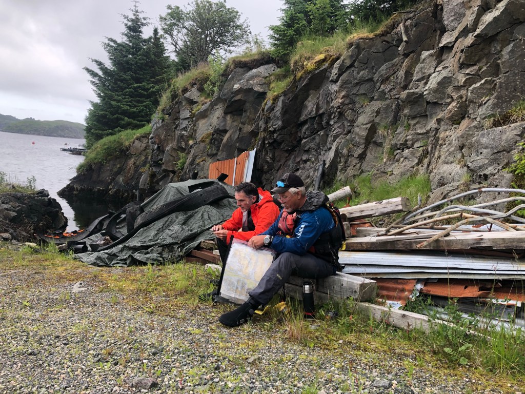
During the break we found what looked like a good campsite on the Northern tip og Skjelanger, where Skjelanger Fort once was located before it was decommissioned. Only issue: It would mean a 40 km paddle, a bit longer than we had planned for.
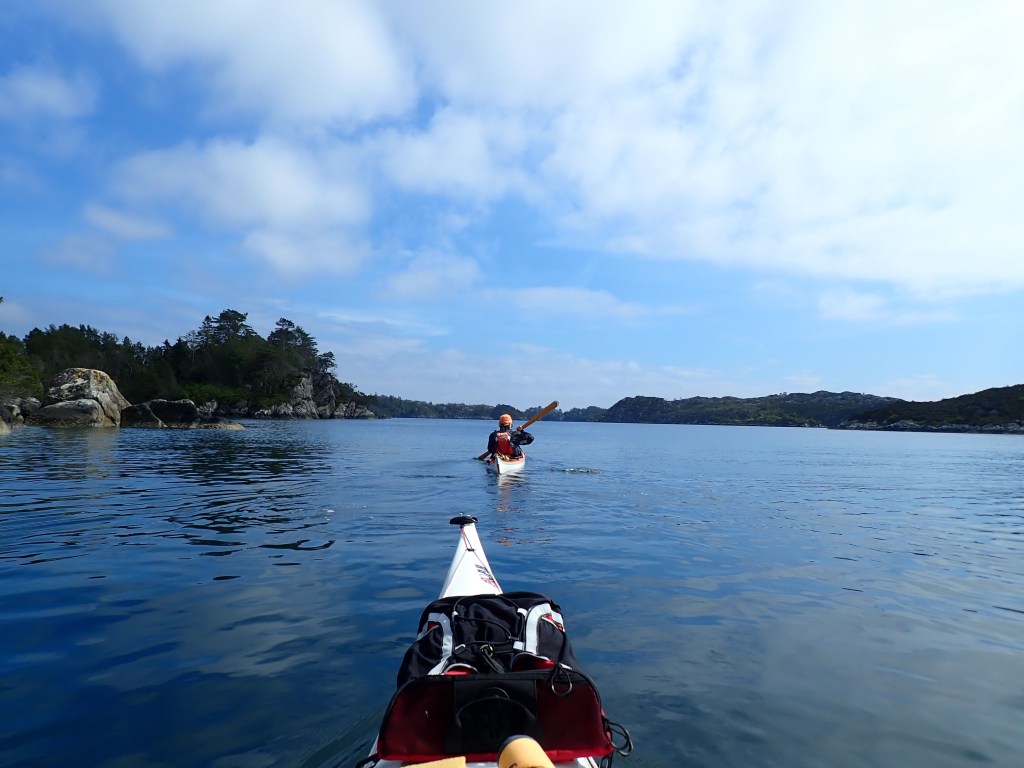
We made it to Hjeltefjorden without fuzz and after another short if not so gloriously located break we set out for what we hoped would be a good campsite.
We hadn’t seen many campsites during the day. A few sandy coves, but the invasive Canadian Sitka spruce was always growing densly all down to the shore. That would guarantee a very “gantty” experience
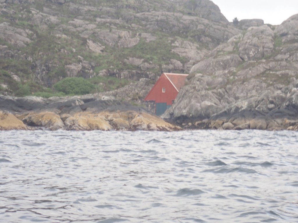
We were lucky. It was a really good campsite just beside an old boathouse now maintained by “Forbundet Kysten” https://www.kysten.no/ a NGO of volunteers that is dedicated to preserve the old Norwegian coastal culture.
And although sheltered there was just enough wind to keep the mosquitoes and gnats away. Perfect.
And to make it more than perfect (at least for Erling) Erling noted some particularly heavy green stones: Eclogite! Turns out Skjelanger is a much visted locality to see this enigmatic rock type. https://en.m.wikipedia.org/wiki/Eclogite
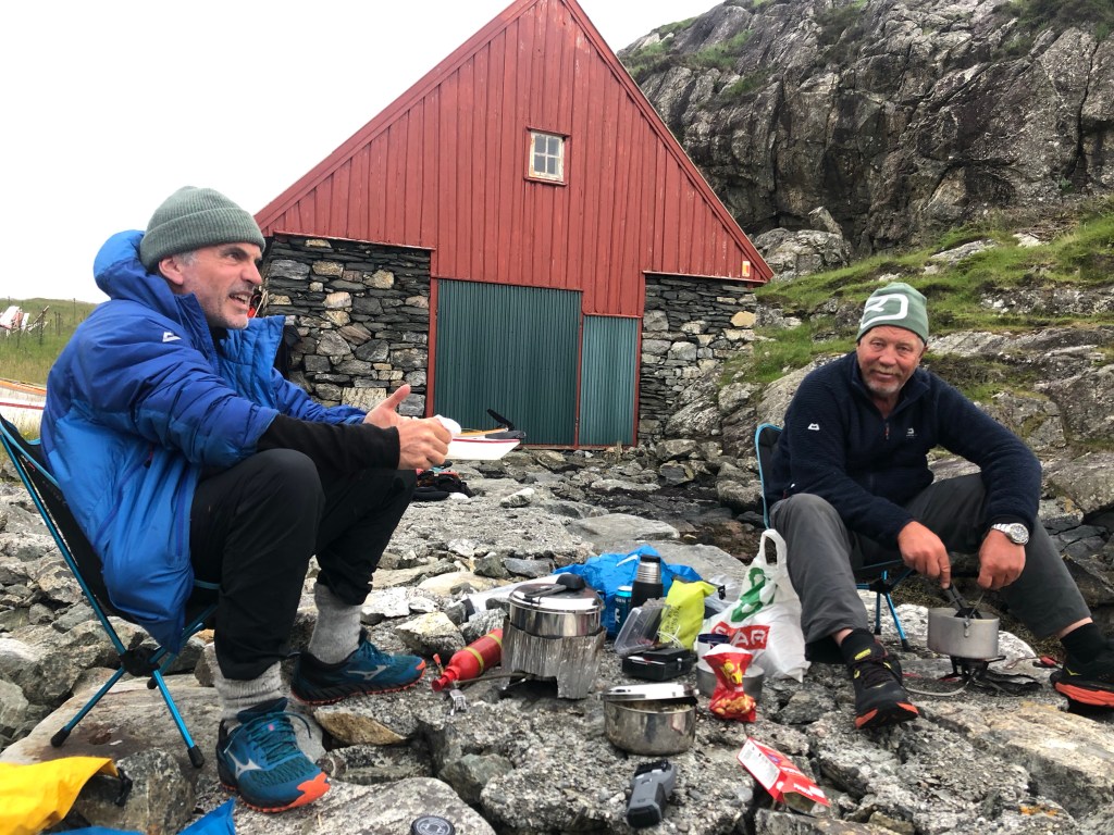
Geology aside, we were very happy with the site. Stein has paddled here twice before and he has experienced difficulty finding good campsites along this part of the coast. “Mr Google maps” (Erling) is also struggling, so tomorrow (Monday 28) the plan is to paddle about 30 km to a conveniently placed “Joker” store at the east side of “Lille Sotra”, buy ice cream, and take it from there. WP
